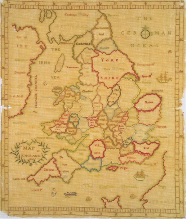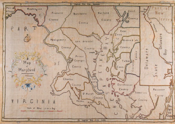
From the late eighteenth century until about 1840, schoolgirls in the
British Isles and the United States created embroidered map samplers and
even silk globes. Hundreds of British maps were made and although
American examples are more rare, they form a significant collection of
artefacts. Descriptions of these samplers stated that they were designed
to teach needlework and geography. The focus of this book is not on
stitches and techniques used in 'drafting' the maps, but rather why they
were developed, how they diffused from the British Isles to the United
States, and why they were made for such a brief time.
The events of the late eighteenth and early nineteenth centuries
stimulated an explosion of interest in geography. The American and
French Revolutions, the wars between France and England, the War of
1812, Captain Cook's voyages, and the explorations of Lewis and Clark
made the study of places exciting and important. Geography was the first
science taught to girls in school. This period also coincided with major
changes in educational theories and practices, especially for girls, and
this book uses needlework maps and globes to chart a broader discussion
of women's geographic education. In this light, map samplers and
embroidered globes represent a transition in women's education from
accomplishments' in the eighteenth century to challenging geographic
education and conventional map drawing in schools and academies of the
second half of the nineteenth century.